


Department of Geology Mission Statement
We seek to engage our students through lecture, field, and laboratory experiences and to train them to identify and interpret the materials, structures, processes, and history of the Earth. We equip our graduates with the skills needed to pursue careers in education, government, research, and industry, particularly within California. As a small geoscience department, we provide opportunities to participate in undergraduate research, gain extensive field-based experience, and to work closely with our faculty. We welcome all motivated individuals who are passionate about science, value diversity and acceptance, and believe in wise stewardship of our planet through critical thinking and dialogue. We recognize that the geoscience field has historically excluded marginalized communities, and we acknowledge our own diversity gap and will work to provide our underrepresented students with an inclusive learning environment. As a department within a Hispanic Serving Institution, we strive to provide our Latinx students with opportunities that lead to greater success in their chosen career path. Our goal is to provide an inclusive space for our students, faculty, and staff which fosters a variety of opportunities for intellectual discourse in an open and mutually supportive atmosphere.
Mission statement voted on and passed unanimously on 8/23/22.
Welcome to the Department of Geology!
Geology is the study of the materials, structures, processes, and history of the Earth. It advances our understanding of the formation of rocks and minerals and how they can be used to reconstruct the history of the Earth's biological, climatic, and tectonic evolution across the enormity of geologic time. If you have an interest in rocks, fossils, mountains, rivers, the environment, and working outside, the Geology department may be the right fit for your SSU degree.
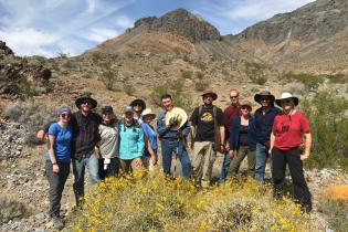
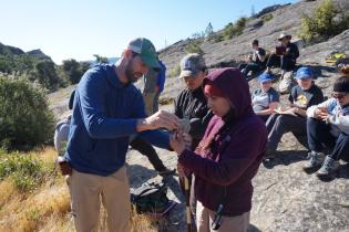
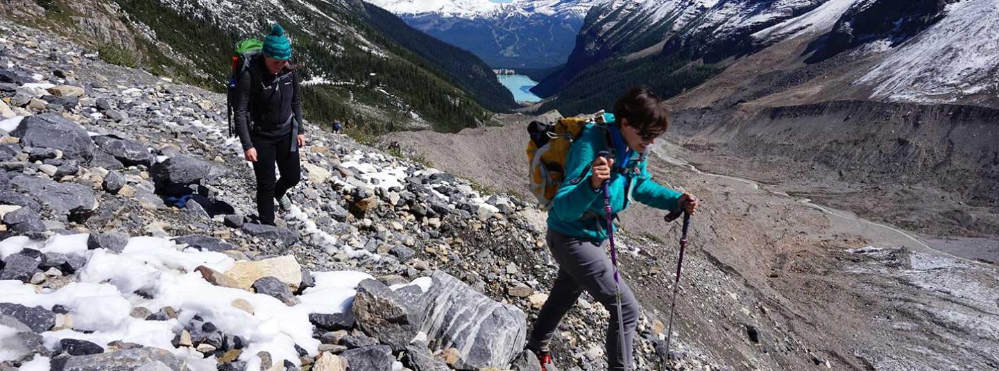
Our department is committed to undergraduate training that includes a well-balanced treatment of geologic principles and an emphasis on field studies. Students take a fundamental curriculum that concentrates on the analysis of rocks and minerals, earth surface processes, earth history and evolution, geophysical and GIS analysis, structural deformation, and geologic mapping.
The curriculum emphasizes field-based observation and inquiry. Core courses include Advanced Principles of Geology, Mineralogy, Igneous and Metamorphic Petrology, Sedimentary Geology, Structural Geology, Paleontology, and Hydrology. Information on specific courses is available in the University Catalog or through the Department Administrative Coordinator.
Students may choose from major programs that lead to either the BA or BS professional degrees. Teaching Credential preparation and Minors in Geology and Paleontology are also available.